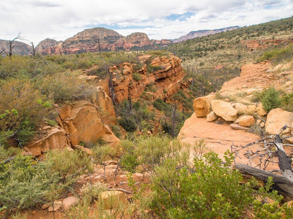
This hike normally started on FR 252 at the Brins Mesa trailhead. Because of the poor condition of 252, we started from Jordan Road, hiked across the top of the mesa to the trailhead on 252, crossed behind the mesa and across the front of Lost Wilson by the intended trail, up onto Brins Mesa, and then back to Jordan on the public trail
1 LOST WILSON LOOP
2 First, we climb Brins Mesa from the Jordan trailhead
3
4
5
6
7
8
9 On top, crossing the mesa. This is Brins Ridge from the side, looking across West Sedona.
10
11 Break on the high point of the mesa near the back side
12
13
14
15
16
17
18 Down the back side of the mesa toward FR 252
19
20
21
22
23
24 At the FR 152 intersection, we turn toward Lost Wilson...
25
26
27 ...circling the back of the mesa
28
29
30
31
32
33
34
35
36
37 The manzanita gets thicker
38
39 Lost Wilson comes into view
40
41 Through a cypress forest
42
43
44
45
46 Starting up the mountain
47
48
49
50 Older yucca go into bloom this time of year, with these stems shooting up one foot a day.
51
52 A series of steep, brushy washes leading up the side of Lost Wilson
53
54
55
56 Giant manzanita
57 After climbing out of a deep canyon in the side of Lost Wilson, we have to climb high to get around its headwall
58
59
60
61
62
63
64
65
66
67
68
69
70
71 On this level, we can cross around the mountain
72
73
74
75
76
77
78
79
80 Penstemon are in bloom
81
82
83
84
85
86
87
88 Now we have passed the head of the canyon on the mountain
89
90
91
92
93
94
95
96
97
98
99
100
101
102
103 These spires on Lost Wilson are visible only from this trail
104
105
106
107
108 The weather deteriorates...
109 Now we cross around to Brins Mesa
110 The Brins burn zone
111
112
113
114
115 A small canyon cutting into the mesa
116 We climb the backside of the mesa about midway between Mormon Overlook and the cross-mesa trail
117 Back to the public ttrail...
118 ...and return down the front of Brins Mesa. These are the windows visible near the top.